

QGIS for technical studies
Learn to perform geospatial analyses, build maps, interpret Geodatabase and Shapefile files, project points in space and edit features.
Learn moreTraining programs applied to water resources, environmental studies, geoprocessing, computational modeling, PGRCC and technical-report preparation.
Learn to perform geospatial analyses, build maps, interpret Geodatabase and Shapefile files, project points in space and edit features.
Learn more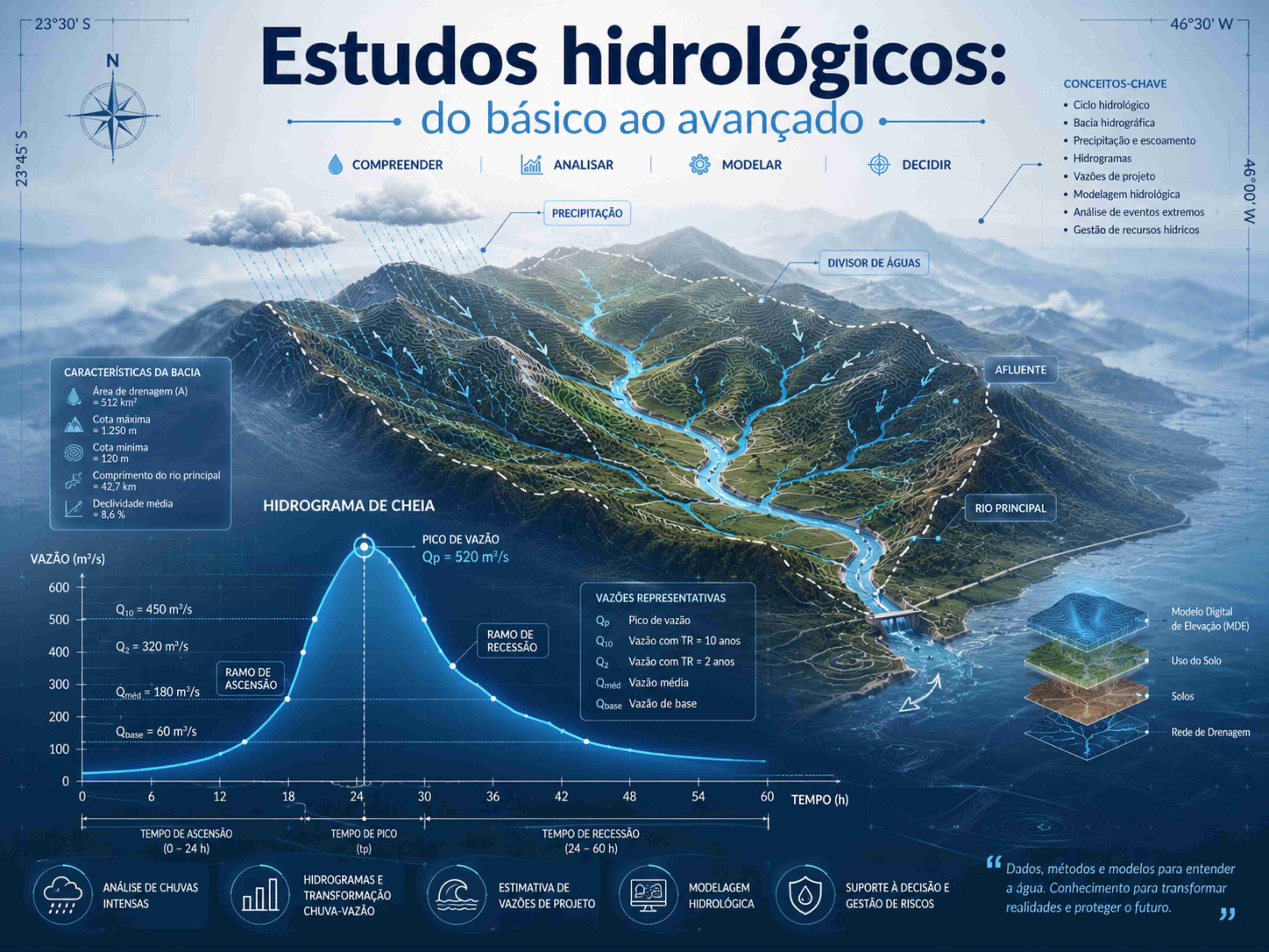
Delineate and characterize watersheds, calculate design flows, and learn computational tools and field data acquisition methods.
Learn more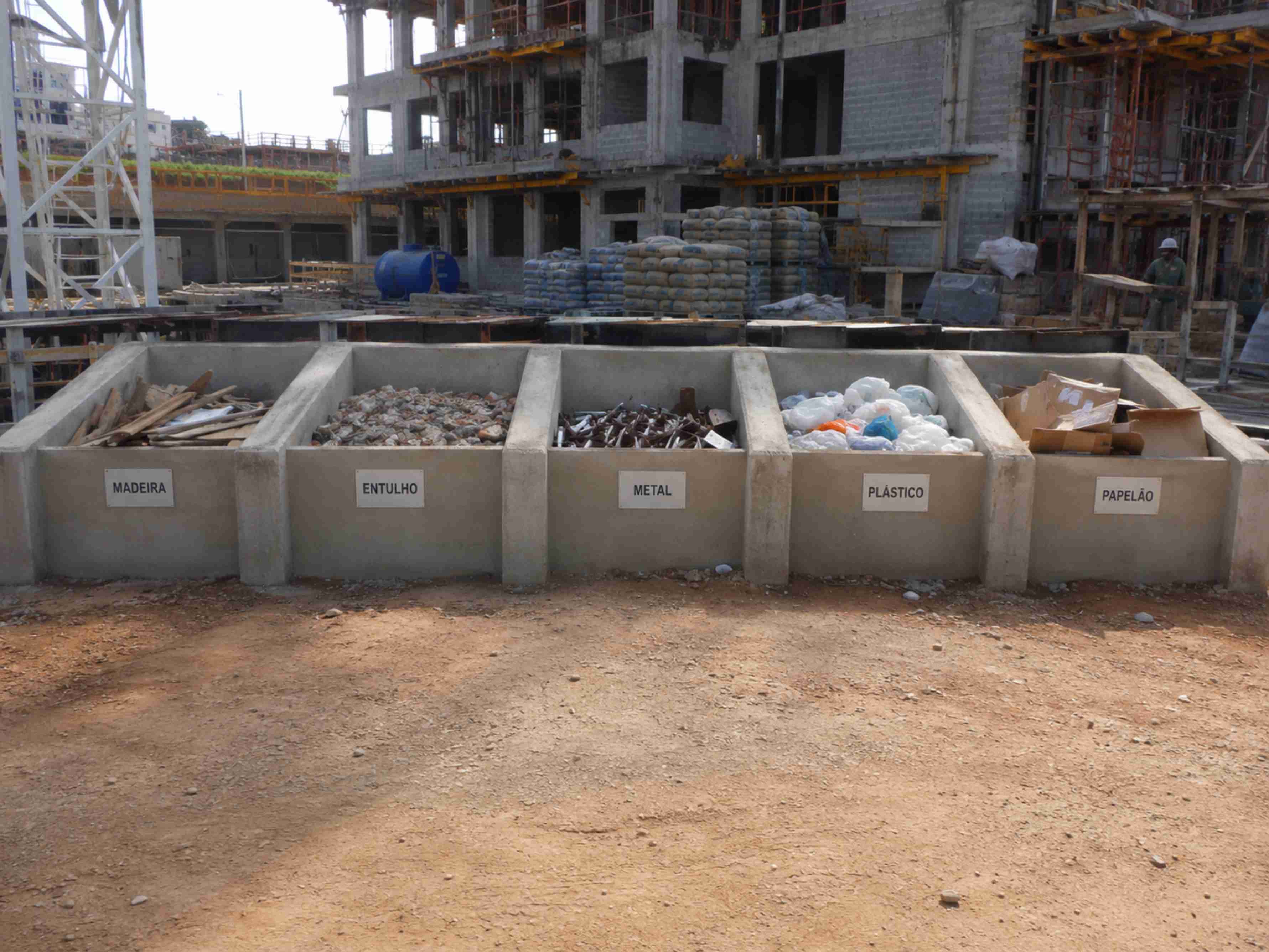
Plan design, input data and documentation. Prepare a PGRCC adapted to current civil-construction techniques.
Learn more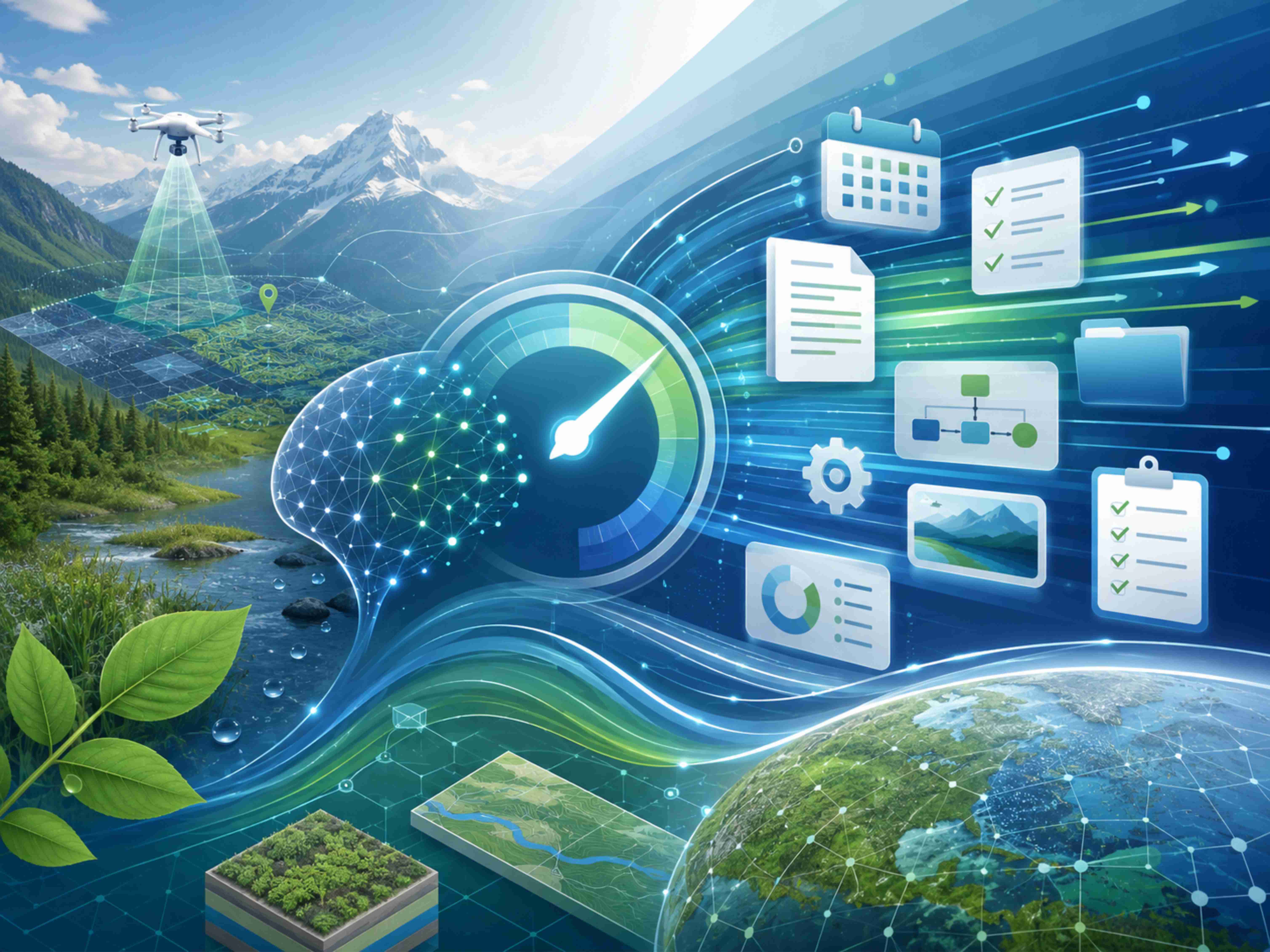
Contract management, quotes and file control. Reduce time spent on administrative tasks.
Learn moreSend the initial information for demand assessment and proposal preparation.
Request a quote