
Hydrological Studies
Flow estimation, watershed characterization, water availability and technical support to projects.
Specialized technical team
We combine technical mastery, computational modeling, geoprocessing, hydrometeorological data analysis and interpretation of requirements from public and environmental agencies with agility and assertiveness.
Unlike generic or merely document-based studies, we develop analyses oriented to the client’s problem, considering watershed characteristics, rainfall regime, land use and occupation, data availability, development scale and level of detail required for each purpose.
The objective is to reduce uncertainties, anticipate questions and provide reliable information for decision-making, project approval and administrative-process instruction.
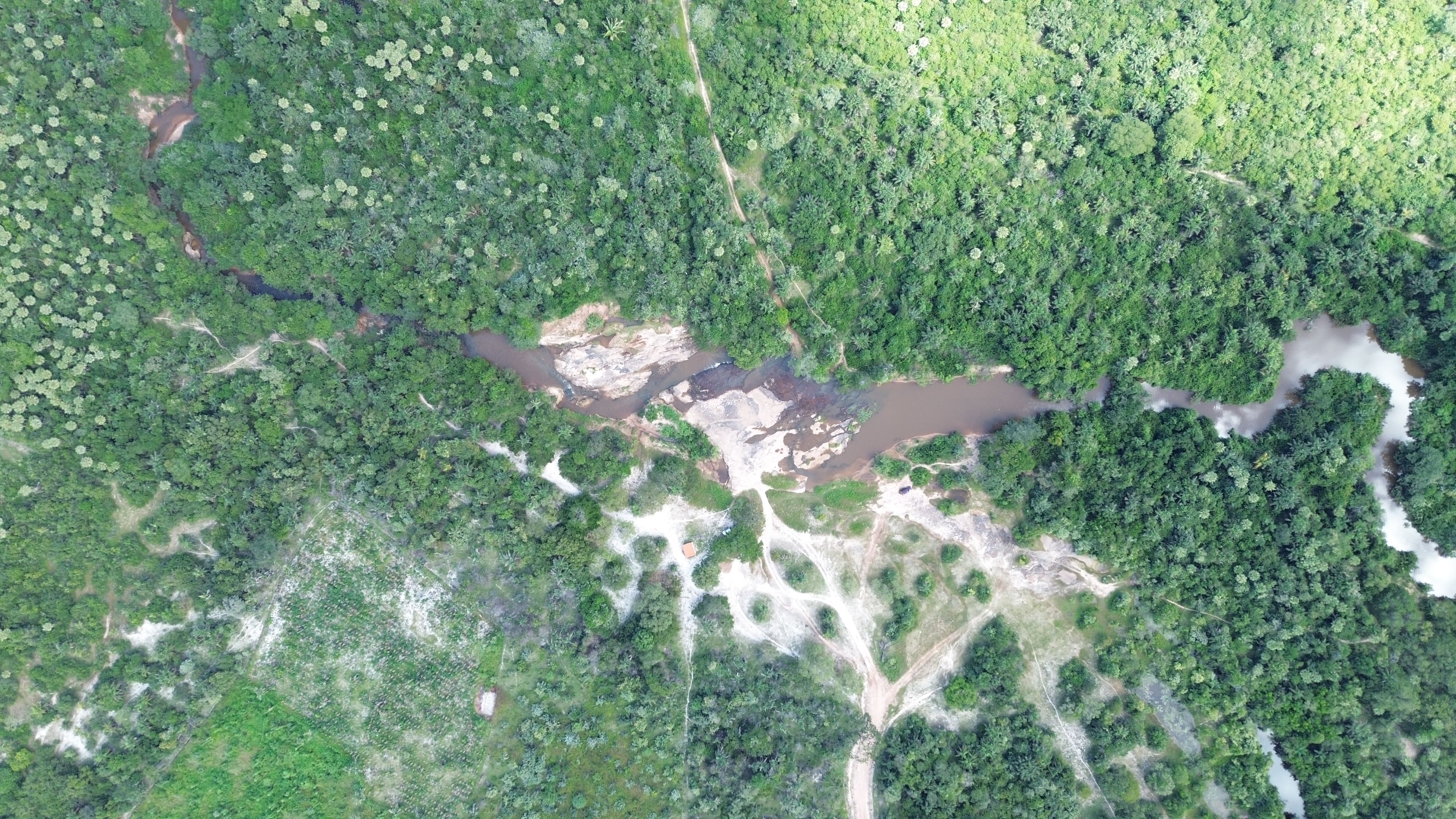
We go to the field.
To provide technical robustness to hydrological studies, we do not work only with secondary data and office analyses. When necessary, we conduct field surveys to understand the real conditions of the area, identify relevant hydrological features and reduce uncertainties in data interpretation.
Aplicamos direct flow-measurement methods, we inspect watercourses, assess discharge points, crossings, drainage devices, thalwegs, areas subject to flooding and other elements that may influence hydrological and hydraulic behavior in the studied area.
In situations requiring greater spatial detail, we use Aeronaves Remotamente Pilotadas (RPA/drone) to investigate hydrological features, surface-runoff patterns, wetlands, river and stream banks, drainage channels, occupation in flood-prone areas and landscape changes that are not easily observed using satellite images alone.
Most Hydrological Studies can be delivered within up to15 days
We know that many licensing processes, project approvals, responses to requirements and feasibility analyses depend on fast delivery of technical documentation. Therefore, we structured our methodology to produce hydrological studies quickly without compromising technical consistency.
In usual demands, with available data and well-defined scope, we can deliver most hydrological studies within up to15 days, including information gathering, data processing, preparation of technical memorandum, maps, results and final report.
This timeframe may vary according to watershed complexity, need for field inspection, availability of rainfall and streamflow data, level of detail required by the competent agency and need for complementary modeling.

When is this service necessary?
In urban drainage, for example, this type of study is required to determine flow values caused by design rainfall, information needed for thecorrect sizing of retention and detention reservoirs, galleries, pipes and storm drains.
In the context of treated-effluent discharge into streams and creeks, this type of study is necessary to define reference flows of water bodies and support the study of theirself-purification capacity.
For photovoltaic plants and other types of industrial developments, subdivisions and condominiums, hydrological studies may incorporate the study of thefloodplain, which represents the maximum water level that a given river, creek or stream may reach with a certain probability.
Regarding bridges, levees and dams, hydrological studies allow determination of thehydraulic forces acting on the structureand calculation assumptions for all remaining sizing.
What about the expected results?
The results obtained are important to indicate to other professionals (architects and civil, mechanical engineers, among others) themost unfavorable design conditionsand prevent residential units, for example, from being placed in dangerous areas within the site, dams from failing or roads from flooding.
The methodology for preparing Hydrological Studies involves, at minimum:
Save time with our team.
Send the initial information for demand assessment and proposal preparation.
Request a quote